We use cookies to personalise site content, social media features and to analyse our traffic. We also share information about your use of this site with our advertising and social media partners.
FEATURED
SPONSORED
December 15, 2025 -
8 minutes, 20 seconds
-1.8K Views 0 Comments 0 Likes 0 Reviews
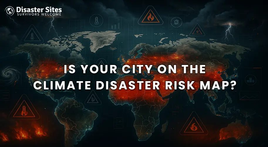
Natural disasters related to climate are no longer abnormal occurrences. From record heatwaves spreading throughout Europe to flooding throughout Asia, cities are becoming more vulnerable with the climate agenda in action. With these disasters becoming more frequent and violent, a very special tool is being employed by experts to assess the risk levels in an area.
One useful mechanism is a risk map for climate disasters. The map uses scientific information about rising temperatures, increases in sea level, storms that behave differently, droughts, and other perils to highlight different kinds of cities that might be the most dangerous to life in the years ahead. Think about how much better positioned governments, planners, and even people would be with a more definitive outlook on the vulnerability of their home cities.
At present, it may never be more critical to keep these cities tracked on the risk map. Rapid urban expansions are happening, with millions of people living in areas highly exposed to floods, extreme heat, or storms. Knowing whether your city is on this map is the first step to being prepared along the lines of what lies in the days ahead.
A climate disaster risk map is similar to a hazard map that depicts areas of the world most likely to be affected by extreme weather events. The map combines our knowledge about global temperature rises, higher storms, floods, droughts, and sea level rise from aerial photographs and maps produced from seismic data.
Scientists, government, and international institutions analyze the varying levels of risk and create the maps in order to provide residents with transparent visualizations of areas of vulnerability. Risk maps are not just about forecasting disaster but are also intended to help cities or communities be better prepared.
For instance, if a city is plotted in a high risk zone, decision makers may work to improve infrastructure, drainage, and emergency planning along with citizens using this knowledge to remain aware of their situation and make better decisions.
If you want to explore more about earthquakes, don’t miss our coverage on “Myanmar Earthquake 2025: Crisis Persists as Thousands Wait for Lifesaving Relief.
Not all cities are equally at risk. Some may always be subject to threats given the geography or the risks that local building codes allow. Here are a few key factors that define a city's risk:
Certain cities already firmly occupy the top ranks of global climate disaster risk maps because of their geography and or the rapidity of their development. These are some examples of those cities:
For deeper insights into wildfire devastation, check out “Climate Driven Wildfires Account for Thousands of American Deaths: New Research Unveils Shocking Toll.
So you may be asking, how do I know if my city is at risk? Here are several ways to find out:
And it follows, with the impact of climate change, disasters will occur more rapidly, more devastatingly and less predictably. Any city would never have true safety again. Some cities are more vulnerable due to geographical features, existing infrastructure, or population increase in urban areas, however, all cities need to prepare for what is to come.
Knowing whether or not your city is on the climate disaster risk map is the first step. The next step is to take action; pushing for better planning from our leaders, supporting environmentally sustainable policies, and being prepared personally and communally. Together these steps will minimize damage and prepare our cities for a changing world.

“To assist disaster survivors by providing a source for them to come together in time of need, to aid in the listing of events, information and other forms of assistance, and continuing support through the recovery process.”

Share this page with your family and friends.