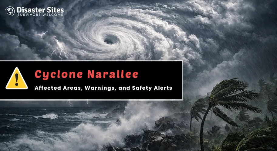
Cyclone Narelle has intensified into a powerful Category 5 storm and is making its way toward the Cape York Peninsula, with landfall expected on the morning of Friday, March 20.
What started as a mild Category 1 system just two days ago has rapidly grown into one of the most serious weather events Far North Queensland has seen in years, and communities across the region are now in its direct path.
Where Is Cyclone Narelle Expected to Hit?
Knowing whether you are in the affected zone is the first step. Here's a simple breakdown of the areas currently under warning:
- Lockhart River, Coen & Cape Melville are in the direct path of the storm. These communities will feel the full force of Narelle, destructive winds over 200 km/h with gusts crossing 279 km/h are expected, strong enough to cause widespread damage to buildings and vegetation across the region.
- Cooktown, Cape Tribulation, Kowanyama & Weipa fall in the severe warning zone. Very strong winds and significant rainfall are on the way, and flooding is a real concern in low-lying areas.
- Port Douglas is on a watch alert. While not in the direct path, damaging gusts and coastal flooding are still possible and should not be ignored.
- Northern Territory — Gulf Region should also start preparing. After crossing Cape York, Narelle is expected to re-strengthen over the Gulf of Carpentaria and move toward the NT coast by the weekend.
What Warnings Have Been Issued?
Authorities have been working around the clock, and several official warnings are currently active:
- A Cyclone Warning is in place from Lockhart River to Cape Tribulation, meaning destructive winds are expected very soon.
- A Storm Surge Warning has been issued for coastal communities. Storm surges can push large walls of seawater far inland within minutes.
- Flash Flood Warnings are active across the western Cape York Peninsula, particularly around Coen and surrounding inland areas.
- Queensland Police officers are already going door to door in the highest-risk communities. If an officer or emergency worker advises you to evacuate, please follow their guidance without delay.
Simple Steps to Keep Yourself and Your Family Safe
You don't need to do everything at once. Just focus on these steps, one by one:
- If an evacuation order has been issued for your area, please leave now. It can feel hard to leave your home, but your safety matters more than anything else. Roads may close as the storm gets closer, so the earlier you go, the better.
- Put together a small emergency bag with drinking water, food for at least three days, any medicines you need, a phone charger, a torch, and copies of important documents.
- Avoid driving through floodwater at all costs. Even water that looks shallow can be hiding debris, damaged roads, or fallen power lines underneath. It is simply not worth the risk.
- Keep a battery-powered or hand-crank radio with you. Once the power goes out, your phone battery will drain quickly. A radio will keep you connected to emergency updates and help you know when it is safe to move.
Don't Step Out Until It's Safe
When the storm stops, don't rush outside. Here are a few things to keep in mind:
- People should wait until officials give their all-clear announcement before they can go outside because the area appears peaceful at that time.
- The area remains hazardous because power lines and roads which have collapsed will still pose dangers to people after the winds stop.
- Do not drink tap water until authorities confirm it is safe, as it can get contaminated during a cyclone.
- Keep your emergency kit close even after the storm passes, as you may still need it in the hours that follow.
- Once it is safe, check on your neighbours, especially the elderly and anyone living alone nearby.
Conclusion
Far North Queensland has faced wild weather before and come through it. But Cyclone Narelle is the kind of system that demands real respect, not because of the headlines, but because of what a Category 5 landfall actually looks like up close. Stay alert, stay informed, and keep the people around you close.
Visit Disaster Sites, a dedicated platform tracking real-time cyclone alerts, evacuation orders, and emergency bulletins the moment they're issued. When a Category 5 storm is closing in, staying informed isn't optional, it's survival.


Share this page with your family and friends.